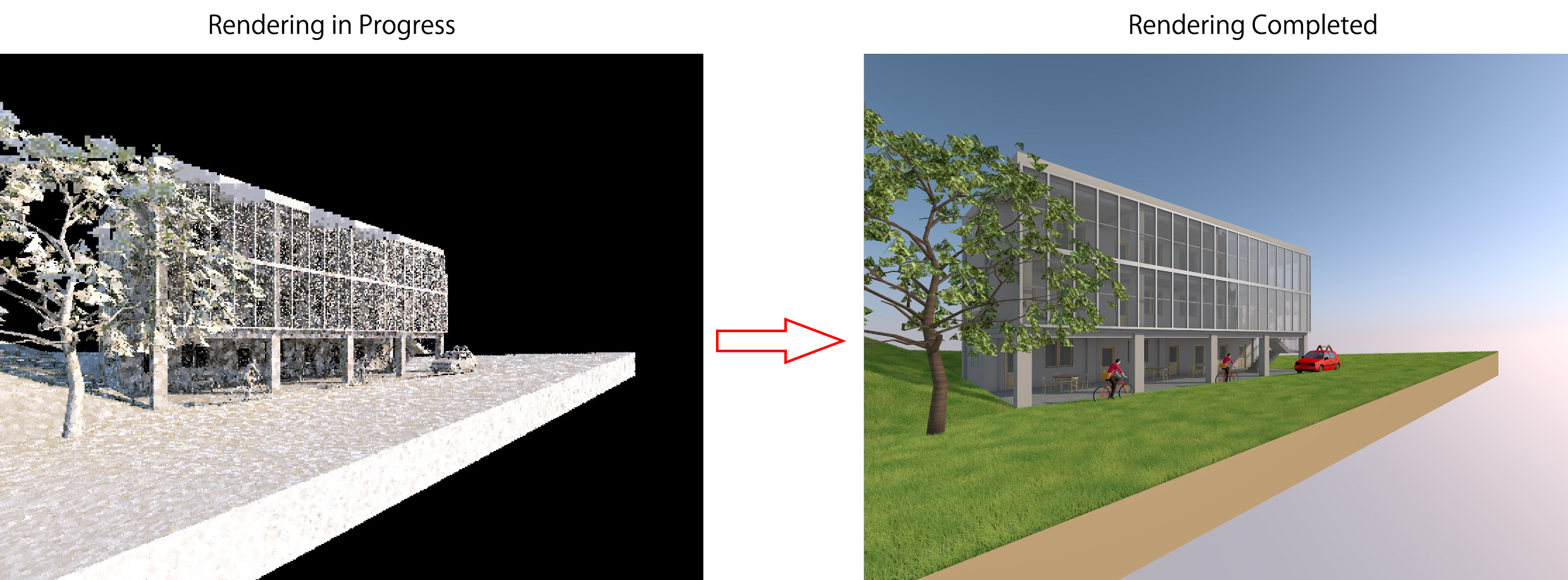
The Mesh Tool allows you to create terrain with points at different elevations.
1. Preparing the Working Story
For terrain-related elements and the surrounding site area,
I set the Home Story to GL (Ground Level) to make file management easier.
Therefore, open the GL floor view to start working.
2. Opening the Mesh Tool
Double-click the Mesh Tool icon in the Toolbox to open Mesh Settings.

3. Setting Up the Mesh Parameters

Configure the Mesh settings as follows:
Step 1: Enter basic parameters
Mesh Height: 500
Offset to Home Story: 400
Home Story: -1. Ground Floor
Step 2: Choose the Mesh type
Step 3: Select the material
Step 4: Select the surface material as desired
Step 5: Click OK
4. Drawing the Mesh Boundary
After finishing the Mesh settings, define the Mesh boundary
(similar to drawing a Slab).

 Note: Exclude the building footprint so the Mesh does not overlap the building

After placing the Mesh, the model will look like this
5. Adjusting Terrain Elevation

To adjust the terrain elevation:
Select any point on the Mesh that you want to modify
In the Pet Palette, choose the Z icon
Adjust the elevation as desired
(You can enter an exact value by pressing Tab and typing the number)

After adjusting the elevation, the Mesh will look like this
6. Creating Terrain with a Hill
Assume your terrain includes a small hill. Follow these steps:
Step 1: Add contour lines
In the floor plan view, use the Line or Polyline tool to draw contour lines.
 Using the Polyline Tool, draw three contour lines as desired
Select the Mesh > Select the Mesh Tool again in the Toolbox > Hold down the Spacebar, then click each of the three contour lines one by one
- After clicking a contour line, a dialog box will appear > Select Add New Points
then click OK

Step 2: Adjust elevations
After adding points to the Mesh, you can delete the three Polyline contour lines without affecting the Mesh.
You will see that the points have been added to the Mesh.

The points have been added to the Mesh
Proceed to assign elevations to the points
Select a point to adjust > Choose the Z icon in the Pet Palette
Height: Enter the desired elevation
(In this example, the value is set to 500)Check Apply to All to apply the value to all points on the same contour line
Click OK

- For the remaining two contour lines, repeat the same steps.
In this example, their elevations are set to 1000 and 1500 respectively.

Terrain Model After Settings
Tip
In Mesh Settings, you can switch to All Ridges Smooth mode to create a smoother terrain surface.

Select All Ridges Smooth mode

Comparison between the two Mesh surface settings